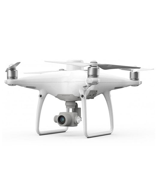
The Phantom 4 RTK Quadcopter from DJI is a Phantom 4 quadcopter that is designed to deliver centimeter-level accurate mapping that can be extremely useful for surveying, construction sites, and inspections.
- Enterprise-Level Drone Mapping Solution
- 1cm+1ppm RTK Horizontal Accuracy
- 1.5cm+1ppm RTK Vertical Accuracy
- Distortion Calibrated 1″ CMOS Sensor
- TimeSync Alignment for Accurate Metadata
- Controller with Display & GS RTK App
- Photogrammetry & Waypoint Flight Modes
- OcuSync for up to 4.3-Mile Streaming
- Up to 30 Minutes Flying Time